Course Terrain Tool
Create your simulator course terrain in one click
Available for Windows and Mac

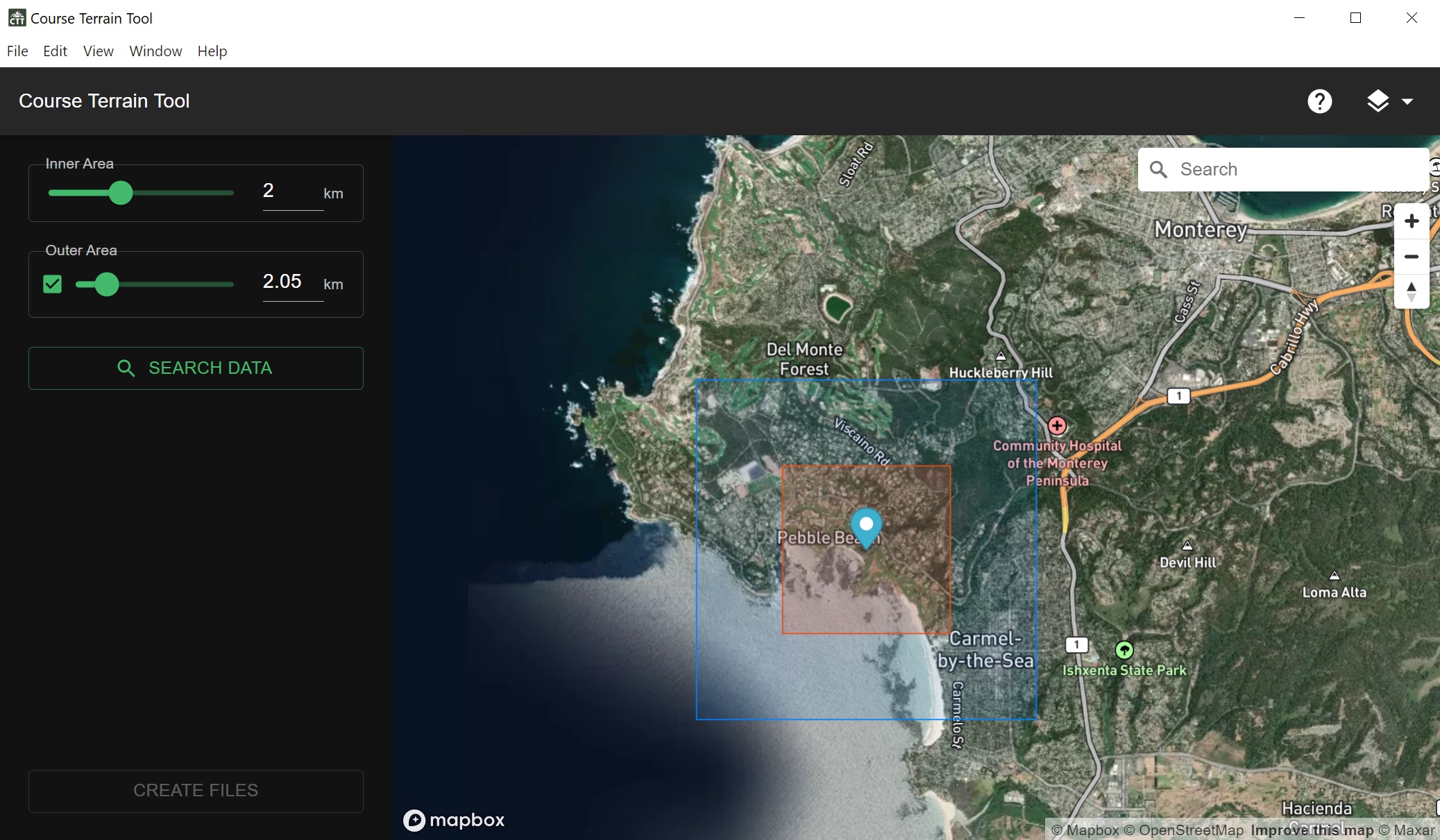
Course Terrain Tool is an open source tool to find and convert raw lidar elevation data to raw unity terrain data.